Observation Details
Observation Date:
April 26, 2022Submitted:
April 30, 2022Zone or Region:
OtherActivity:
Skiing/SnowboardingLocation:
Square TopSigns of Unstable Snow
Observations
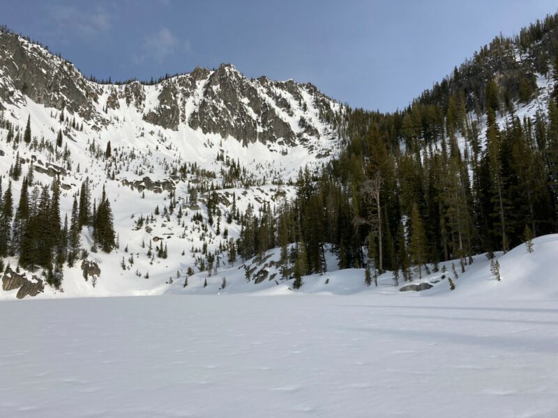
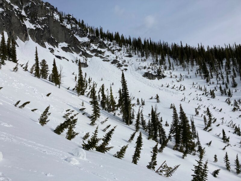
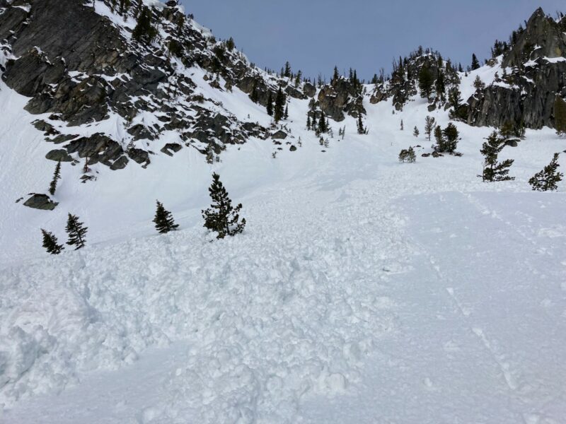
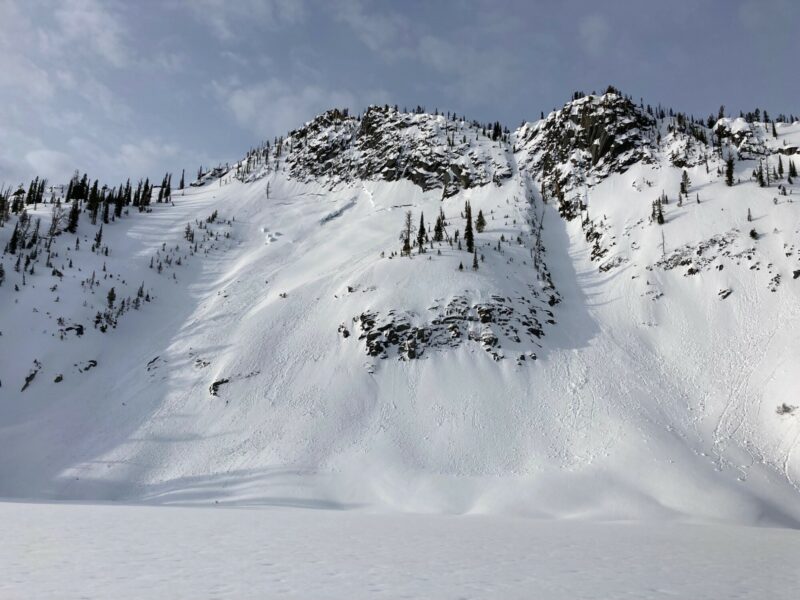
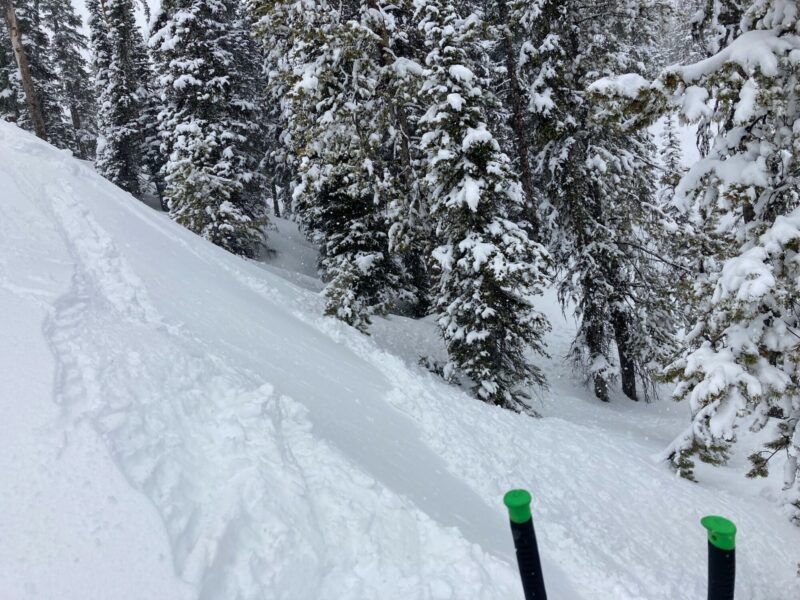
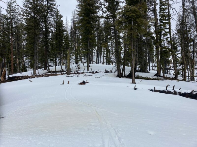
This observation is from Monday and Tuesday (25-26) this past week. Monday, I observed evidence of wet loose debris in any steep terrain that had the slightest tilt toward the sun. The east couloirs on Square Top flushed out previous new snow and the debris was frozen solid. Not ideal skiing conditions where there was evidence of previous wet loose. Bootpacking was challenging. Few inches of soft surface snow (Thursday 21st) that had undergone a weak melt-freeze, sitting atop a stout, but breakable crust (Wednesday 20th), with about 30 cm or drier snow underneath (April 11-17). Surface snow on N and NE facing terrain was still soft and became wet and sticky by 1130. The warm, sunny weather shutdown the skiing by 1200. Tuesday, a winter storm rolled in around 0530. The rain line started around 7000' and gradually lowered throughout the day. I attempted to ski a steep, north-facing chute but I backed off after observing the new, wet snow sliding easily on a thin melt-freeze crust. I instead skied treed east-facing terrain from 8200' down to 7300'. Above 8000', the new snow was softer and exhibited dry loose characteristics. There was about 13 cm (5") of new snow by 1230. Below 7000' the new snow became very saturated (tree pee occurring). I pulled out a small pocket of wet, loose snow on my ski out. Tuesday PM, rain line was around 5500-6000'. Still skiing or playing in the mountains? Submit an observation and let others know what's going on out there.
Media
