Observation Details
Observation Date:
November 20, 2021Submitted:
November 20, 2021Zone or Region:
Council Mountain AreaActivity:
Skiing/SnowboardingLocation:
Council mountainSigns of Unstable Snow
Observations
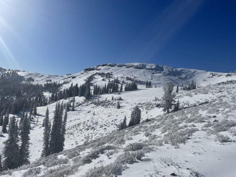
Total snow depths ranged from 2-4 inches at 6400’ to 2 feet at 7800’ in wind drifted shady aspects. Southern aspects were closer to 8-12 inches at 7800’. Old snow was very supportive and consolidated after the warming event last weekend and subsequent cold week that followed it.
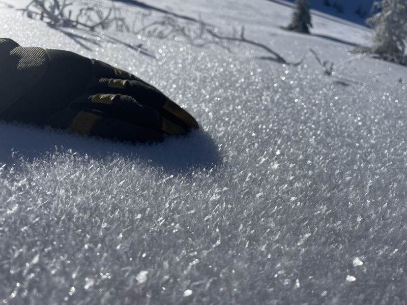
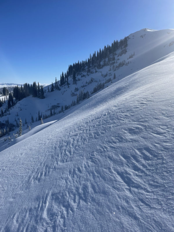
The 2-6 inches of new snow from Friday had experienced warming during the storm, but was supportive and capped with colder snow that had already developed surface hoar in protected spots. Along the ridges, a westerly wind had created small cornices, textured snow surfaces, and stripped the new snow down to the old snow surface.
We did not observe any recent signs of avalanches, experience any whumphing or collapsing, or come across sensitive wind slabs. We did not dig a pit. Our main concerns were the thin conditions with rocks, sticks, and brush still protruding from the snow surface. Keeping slope angles low and mindful turns were key to staying safe. Cold temperatures and passing clouds did not allow for much sun affect on the snow surface.
Media


