Observation Details
Observation Date:
November 11, 2021Submitted:
November 11, 2021Zone or Region:
Goose Lake AreaActivity:
Skiing/SnowboardingLocation:
Granite Mtn/twin lakesSigns of Unstable Snow
Observations
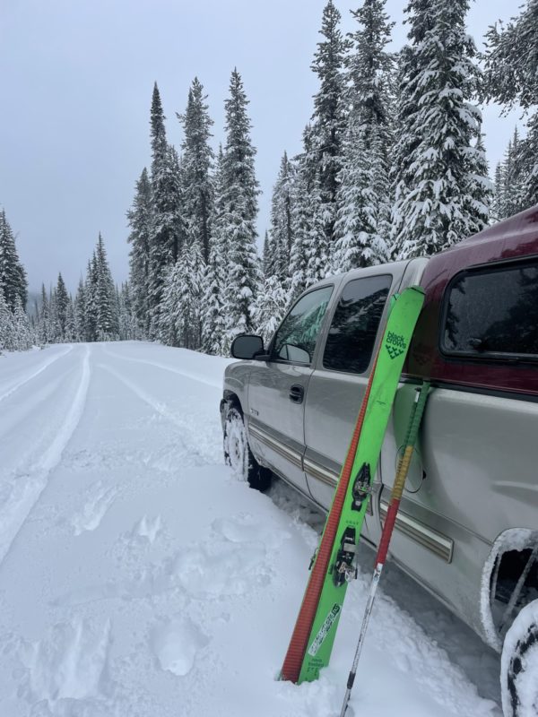
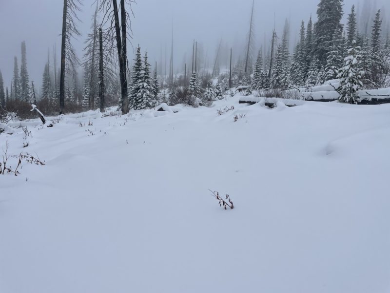
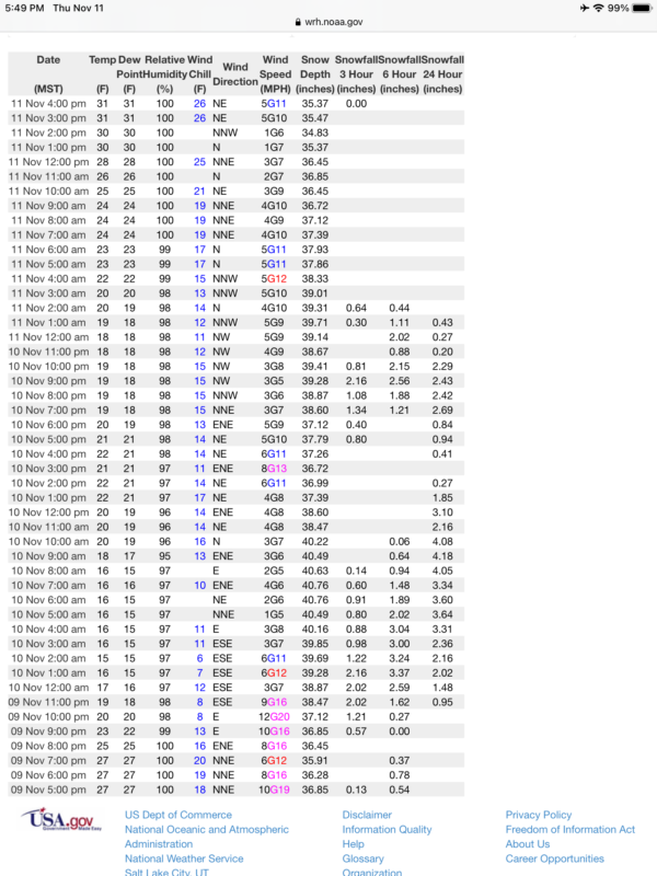
The granite Mtn weather station was reporting 38 inches, so I decided to go check out the conditions on granite. I drove to the trailhead for twin lakes, about a foot of new snow from the 11/6 and 11/9 storms. Thin conditions on the approach through the denser snow with many logs, stumps, and rocks still protruding above the snow surface.
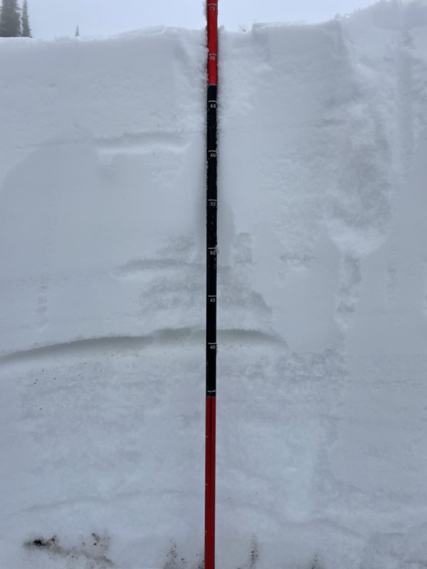
I stopped to dig a pit on a north aspect at 7600’. At the top of the usual motorized route from twin lakes up to the upper mountain. I found 75 cms or 30 inches total snow depth. 40 cms of old (late October Atomespheric river event snow) and 35 cms of newer snow above. The newer snow had a few layers that were unreactive in my stability tests and appeared to be bonding to the old snow. I did not see facets at the base of the snowpack here and the old snow was very supportive.
Sunnier aspects at this same elevation had far less old snow, and a similar amount of new snow. The upper slopes of granite were obscured by pea soup visibility, but given the rockier nature of the terrain and thin snow cover that I could see, I choose to ski gingerly down to twin lakes being cautious and avoided the down wood and rocks. Once at twin lakes I put my skins on and worked my way down to the truck with my skins on to reduce the damage to my skis.
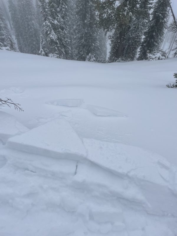
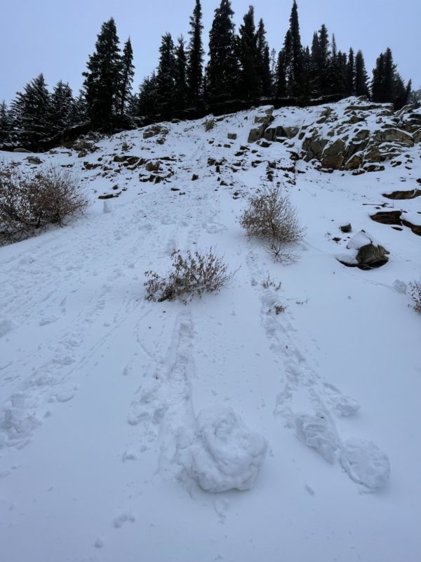
I was able to kick off some small cornices and roller balls we’re starting to drop from the trees with the rising temperatures. I did not see any crowns and was encouraged by the lack of faceting in the old snow. Given the forecasted freezing levels to rise this weekend to 9000+ feet, I would suspect wet slides are a likely possibility.
Snowmobile travel would be possible on the roads to “run some gas through it” but off road travel would last 2 minutes before you would hit something. It’s still extremely thin and early. Do your snow dances!
Media
