
Professional Observation
Basic Information
Observation Details
Observation Date:
April 1, 2023 - April 3, 2023Submitted:
April 4, 2023Observer:
PAC - Studley (off duty)Zone or Region:
Warm Lake areaLocation:
Warm Lake and Big CreekSigns of Unstable Snow
Recent Avalanches?
YesCracking?
IsolatedCollapsing?
IsolatedSnow Stability
Stability Rating:
FairConfidence in Rating:
ModerateStability Trend:
ImprovingMedia
Advanced Information
Weather Summary
Cloud Cover:
Mostly CloudyTemperature:
Below freezingWind:
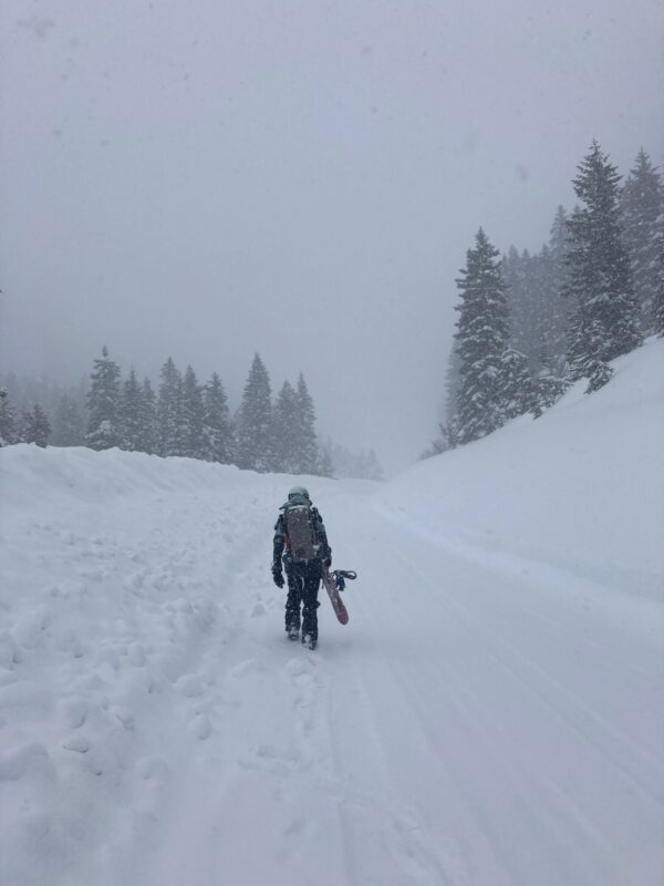
Moderate , WSaturday, snowfall rates were S3-4 for 5-6 hours with strong W/SW winds. Clouds broke around 1630 and the sun popped out for a couple hours. Sunday, intermittent snow showers with brief periods of sunshine. Monday, cold north winds. Snowfall rates of S2-3 from 1300-1700.
Avalanche Observations
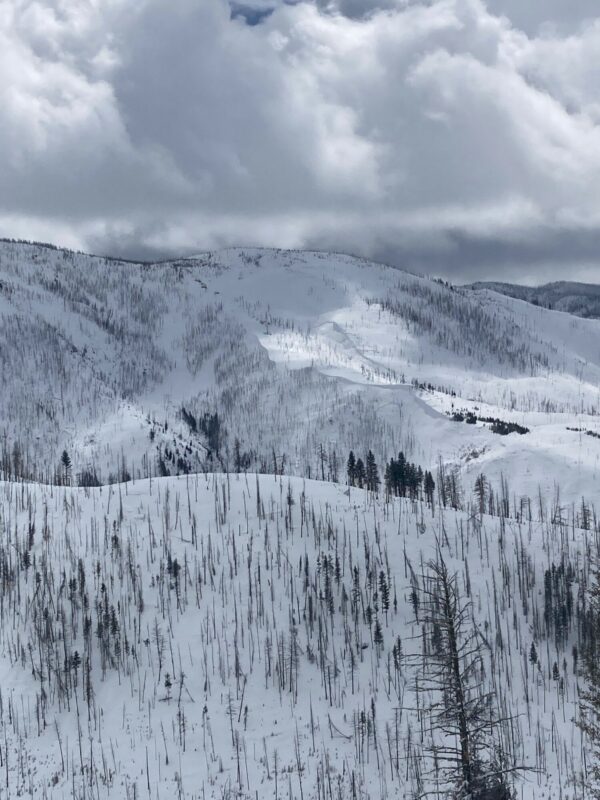
Two natural avalanches observed on Sunday (04/02) east of Warm Lake. Both were on N/NW aspects between 6600'-7400'. Both appeared large enough to bury or kill a person.
Snowpack Observations
Saturday, 50-60 cm of wind-drifted snow in pockets. Shooting cracks were observed within new storm snow. Sunday, a melt-freeze crust was observed on west aspects from 5200' to 7200'. Inverted storm snow, wind effected. North aspects had 45 cm new snow. Monday, storm snow settled but kept coming.
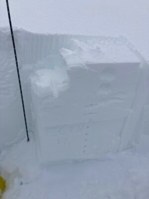
We dug a snow pit on a NW aspect around 6800'. HS was 185 cm. Upper Snowpack structure was somewhat similar to that of the forecast area around McCall. The lower snowpack had a thick layer of facets about 90 cm from the surface. CT 14 RP on facets in between two melt-freeze crusts. ECTN 17 on this same layer. This was our layer of concern. Although the overall snowpack structure was a concern.
Avalanche Problems
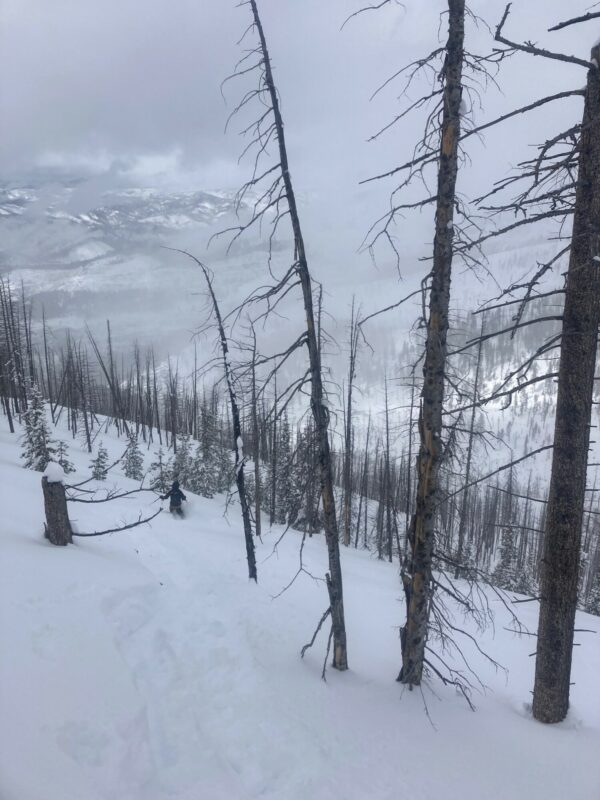
Storm slabs and wind slabs were our primary avalanche concerns over the weekend. We were especially cautious of aspects that had the melt-freeze/facet sandwich.
Terrain Use
Given the intensity of the weekend storm and the weak snowpack structure around Warm Lake, the group agreed to avoid slopes over 30 degrees during and after the storm.
Close