Basic Information
Observation Details
Observation Date:
January 11, 2023Submitted:
January 11, 2023Observer:
ProZone or Region:
Big Creek SummitLocation:
Big Creek North FacingSigns of Unstable Snow
Recent Avalanches?
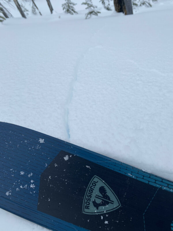
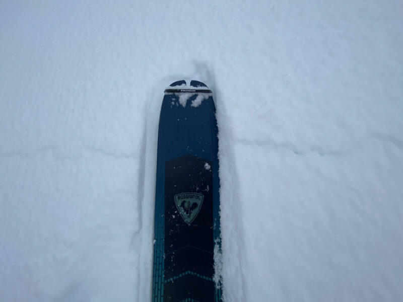
YesCracking?
WidespreadCollapsing?
IsolatedSnow Stability
Stability Rating:
Very PoorConfidence in Rating:
HighStability Trend:
ImprovingBottom Line
The good new is that the snow instabilities are obvious and in your face...The bad news is that we have obvious instabilities. The most unstable snow I have seen in my 5 years in Idaho. I was traveling in High hazard mode, avoiding any slope of 30 degrees or more. Avalanches would have been likely if the slopes I were traveling on were a bit steeper. This is consistent with an Observation from yesterday in this area.
Media


Advanced Information
Weather Summary
Cloud Cover:
ObscuredWind:
LightA quick flash of mist about 1pm created a damp snow surface on north aspects.
Avalanche Observations
Numerous small (D 0.5 to 1) avalanches on road cuts and slopes visible from the road. I am not sure if some of these were sympathetic to plowing. Some were far enough from the road as to not be related to plowing. Some over 100' wide and up to 10" deep.
Snowpack Observations
Overall a very unstable snow pack in this area. Mostly due to surface hoar below the Sunday/Monday snow events that have a combine HST of 8" or so.
Avalanche Problems
| Problem | Location | Distribution | Sensitivity | Size | Comments |
|---|---|---|---|---|---|
 Storm Slab
|
|
Layer Depth/Date: 8-10" Very sensitive day, cracking literally every step of the way while breaking and most turns while skiing. This should settle out a bit, but may become a PWL. Something to watch for a while. South aspects not as touchy but still a bit of cracking. |
Scary but fascinating in a snow nerd way! Would have been a perfect day to teach an avalanche class.
Terrain Use
Low angle below 30 degrees. I think 30 degrees itself would have been creepy.
Close