Basic Information
Observation Details
Observation Date:
December 28, 2022Submitted:
December 29, 2022Observer:
PAC - George HalcomZone or Region:
Tamarack Out of BoundsLocation:
West Mountain North of Tamarack Resort near Lunch SpotSigns of Unstable Snow
Recent Avalanches?
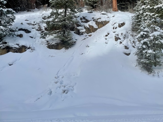
YesCracking?
IsolatedCollapsing?
IsolatedSnow Stability
Stability Rating:
FairConfidence in Rating:
ModerateStability Trend:
SteadyBottom Line
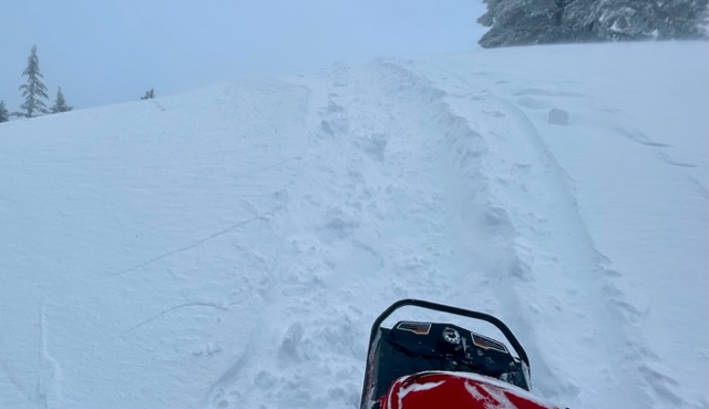
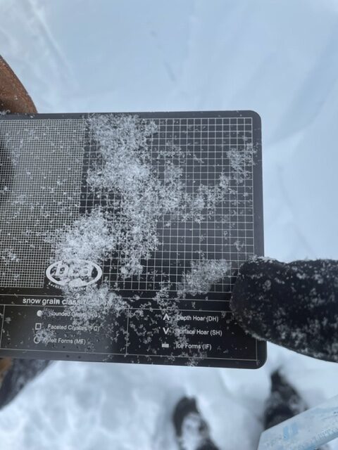
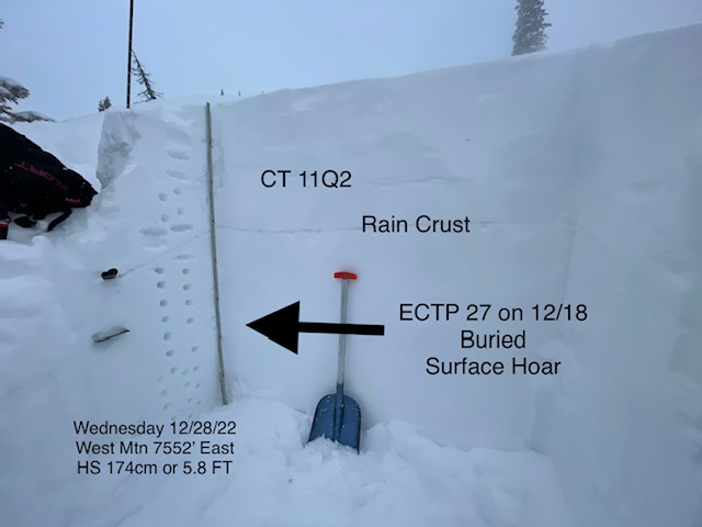
Old and new wind slabs are going to be your primary concern over the next couple of days. Triggering deeper weak layers is going to be difficult, but if you did get the upper snowpack to go, you could get a really big avalanche/ overload the buried surface hoar that formed 12/18 that is still producing ECTP27 in our snowpit on Wednesday 12/28...The snowpack has gotten saturated from heavy rains below 7200' and was still not frozen as of Wednesday. The lower snowpack in the lower elevations will likely solidify after a few cold days and nights and eliminate any wet loose potential like some of the natural evidence seen from our rain event early in the week that formed a stout rain crust that is now buried in the upper foot of the snowpack.
Media


