
Professional Observation
Basic Information
Observation Details
Observation Date:
December 20, 2022 - December 20, 2022Submitted:
December 20, 2022Observer:
ProZone or Region:
Lick Creek AreaLocation:
SawtoothSigns of Unstable Snow
Recent Avalanches?
None ObservedCracking?
IsolatedCollapsing?
None ExperiencedSnow Stability
Stability Rating:
PoorConfidence in Rating:
ModerateStability Trend:
WorseningBottom Line
A tricky day. Leaving the sleds, I was expecting moderate hazard. As the wind/snow picked up we started traveling more as a considerable hazard. The actual conditions after the initial storm instabilities settled put it a bit somewhere in between the two in sheltered areas. I would expect significantly more hazard in exposed wind-loaded areas and the alpine which we avoided. This is based on observing some pillows at our turn around point (7,600'). With snow in the forecast, I will be traveling as per considerable hazard tomorrow.
Media
Advanced Information
Weather Summary
Cloud Cover:
ObscuredTemperature:
Decreasing during the dayWind:
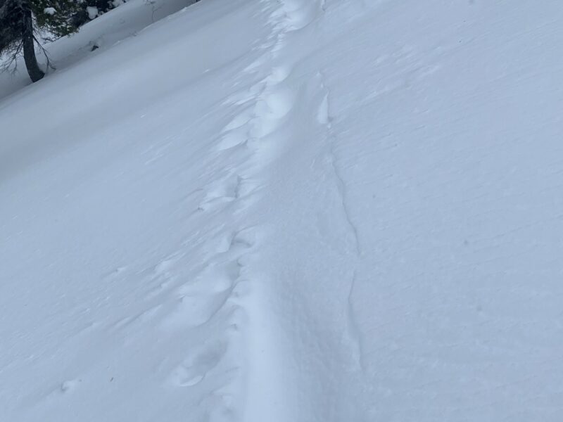
ModerateDecreasing temps during the day, the ride out was a lot colder than the ride in this morning. Snow up to an inch/hr (S2) during the day. HST approximately 5-6" above 7,000'. Wind was moving snow at all elevations. The skintrack was blown in on our 2nd lap in all exposed areas (see photo).
Snowpack Observations
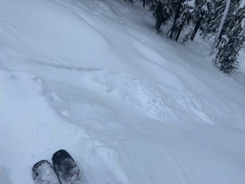
Storm snow had a slightly inverted feel over the old faceted surface snow. Dense, I would guess about 10%. Ski penetration while breaking was about a foot.
I was only able to isolate the new snow in one of at least a dozen pole columns. All but one pole isolated ECTs failed during isolation. (ECTPV). While the depth of the new snow is only 5" or so, these are red flags considering more is expected.
Avalanche Problems
| Problem | Location | Distribution | Sensitivity | Size | Comments |
|---|---|---|---|---|---|
 Wind Slab
|
|
I would expect wind slabs in many upper elevation, exposed areas. Cross loading is also possible in the mid-elevations based on wind drifted snow at the mid elevations. | |||
 Storm Slab
|
|
The new snow is sitting upon a really weak surface. All test shears while skinning indicated easy shear without any bond to underlying snow. Sluffs have the possibility of entraining older snow. | |||
 Deep Persistent Slab
|
|
While not very likely, I'm not willing to rule these out yet. I tend to give this problem a lot of time to heal. A classic low chance/high consequence situation. |
Terrain Use
We skied one at a time and avoided big open areas at mid and high elevations.
Close