Basic Information
Observation Details
Observation Date:
April 14, 2023Submitted:
April 15, 2023Observer:
PAC - Kevin StudleyZone or Region:
Lick Creek AreaLocation:
South of 8302Signs of Unstable Snow
Recent Avalanches?
YesCracking?
None ExperiencedCollapsing?
None ExperiencedSnow Stability
Stability Rating:
GoodConfidence in Rating:
HighStability Trend:
SteadyBottom Line
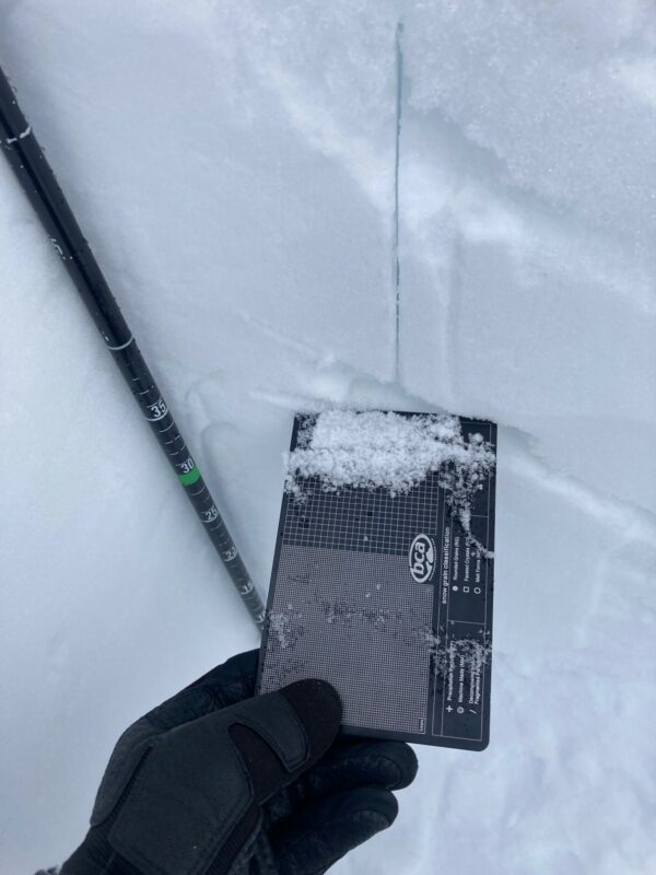
The morning sun began to melt the upper few inches of the snowpack. Afternoon clouds and cooler temperatures formed a thin, breakable crust on east aspects from 8100'-6800'. This thin crust was on top of 1-3 inches of damp snow sitting atop a stout and supportive melt-freeze crust.
Media
Advanced Information
Weather Summary
Cloud Cover:
Partly CloudyTemperature:
N/OWind:
Light , SWClear skies in the AM. Clouds increased throughout the day with partly sunny skies. Light and intermittent snow showers in the PM.
Avalanche Observations
| # | Date | Location | Size | Type | Bed Sfc | Depth | Trigger | Comments | Photo |
|---|---|---|---|---|---|---|---|---|---|
| 1 | Past 48 hours |
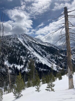
Sawtooth Slide Path W 7800 |
D1.5 | WL | S-New Snow | U-Unknown |
|
Snowpack Observations
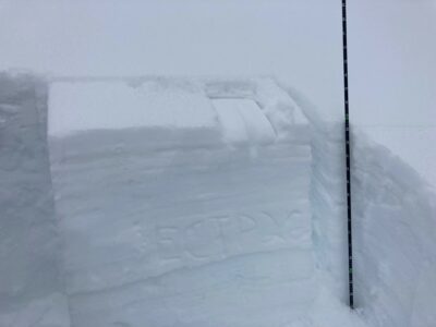
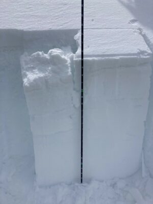
Mostly stable snowpack conditions. Frozen snow surface from 5100'-6100' around 1030 AM. The upper snow surface was becoming soft from 6100'-7500' around 1130 AM. A dry snowpack found 75-90 cm (2.5-3 ft.) down on a N/NW aspect around 7500'. Two weak layers noted 60-80 cm (2-2.5 ft.) down, but no concerning instabilities noted. S/SE aspect around 7900' revealed a saturated snowpack more than a meter (3+ ft.) down that was re-freezing. Consistently 1F or K hardness for the upper 60-90 cm (2-3 ft.). A couple layers of softer, saturated snow grains. These were weak, faceted grains in between melt-freeze crusts that became wet last Sunday-Tuesday. ECTP 26 on wet grains between two older melt-freeze crusts.
